
Customs House, Dublin (1792), available at Wikimedia Commons (http://commons.wikimedia.org/wiki/File:Customs_House_Dublin_1792.jpg?uselang=en-gb)
By Adrian Kirwan
For anyone interested in Dublin city and its history this book will provide much enjoyment to both those familiar and unfamiliar with the city’s history. The book begins with an introductory chapter which provides an overview of the ordnance survey of Dublin and the social and economic context of the city’s development up to 1847. The blending of these two topics is testimony to Dr Cullen’s knowledge of both.
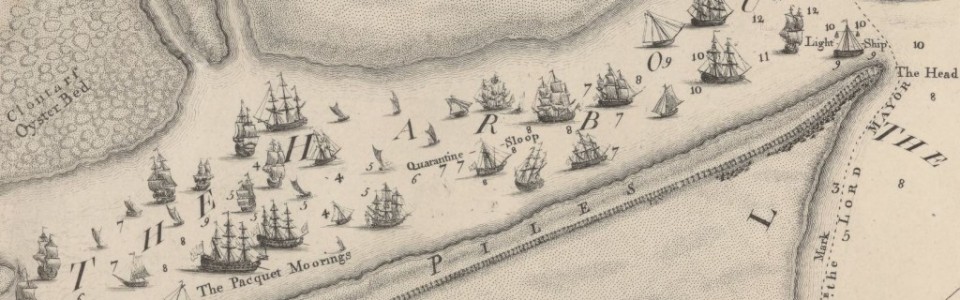
The rest of the book, taking the ordnance survey (O.S.) five-foot to one mile maps (1847) as its basis, is divided into forty-five sections. These focus on selected areas of the mid-nineteenth century city. Each contains the relevant extract from the five-foot O.S. map and some have one to two contemporaneous images of the area, street, square (or prominent buildings within the selected area). In addition, each section contains an accompanying text that elucidates the readers as to how and why the topographical developments on the map took place. While readers will no doubt find the map extracts and accompanying images of interest, it is the text which is the real brilliance of this work. These short –never over a page- overviews of sections of the nineteenth-century city are insightful and well written. The research and understanding of the city that this work is a product of is well hidden behind easy to read and enthralling prose. The real appeal of this book is that, due to each section being self-contained, the reader can take up the book and read at their leisure, as an individual section only takes a few minutes to read. In the same instance, the combined work provides a good introduction to the historical development of Dublin’s topography as it stood in 1847.
For example, section 13, Sackville Street, gives an overview of the development of this street as part of the work of the wide street commissioners and highlights its gradual transformation of the street from a residential to retailing district. Another get section is number 2, Blue Coat Hospital and Smithfield, which gives the reader an introduction to two Dublin institutions that have sadly disappeared since.
This is a must read for anyone with an interest in Dublin and its historical development. The easy to access book makes it very appealing to those who wish to learn about the city without having to engage with a substantial history of the city, as well as those with a particular interest in the cities topographical development.
This book is an ancillary publication of the Irish Historic Towns Atlas project and was launched in conjunction with the IHTA’s Dublin, part III, 1756 to 1847 (Dublin, 2014) by Rob Goodbody. As the atlas stops its investigation of the city’s topographical development with the ordnance survey of 1847 this accompanying publication of the city in that year is a welcome addition, providing as it does a boarder contextualisation of the topographical information contained in the atlas.
This book and indeed the entire range of IHTA publications can be purchase at: http://ria.ie/research/ihta/publications.aspx
Bio
Adrian Kirwan, co-editor of Holinshed Revisited, is an Irish Research Council funded Ph.D. candidate at the Department of History, National University of Ireland, Maynooth. His research focuses on the interaction between society and technology, more about his research can be found here.
